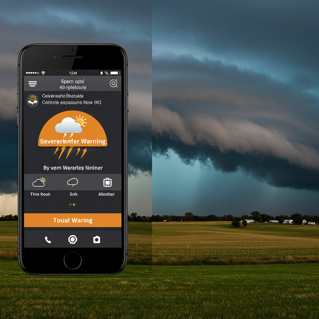
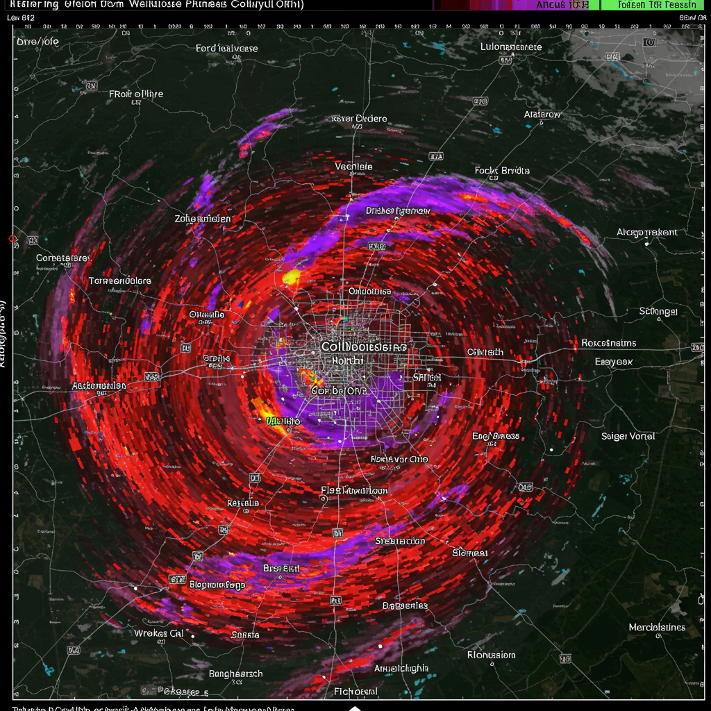
Explore our in-depth analysis of severe storms tracking in Central Ohio. Stay informed with the latest updates and insights on potential weather threats.
Introduction-storms
Central Ohio, situated in the heart of the United States, experiences a wide range of weather phenomena, including severe thunderstorms. These storms can bring damaging winds, large hail, heavy rainfall, and even tornadoes. This blog post will serve as a comprehensive guide to understanding and tracking severe storms in the Central Ohio region. We’ll cover the science behind these storms, the tools and resources available for monitoring them, and the safety precautions you should take.
Understanding Severe Storms in Central Ohio
- Geographic Vulnerability: Central Ohio’s location makes it susceptible to converging air masses. Warm, moist air from the Gulf of Mexico often collides with cooler, drier air from the north and west. This collision creates instability in the atmosphere, a key ingredient for thunderstorm development.
- The Role of Fronts: Severe storms are frequently associated with weather fronts, particularly cold fronts and dry lines.
- Cold Fronts: These are boundaries where cold air displaces warmer air. The lifting of warm, moist air ahead of the front can trigger strong thunderstorms.
- Dry Lines: These are boundaries separating moist air from dry air, often found extending eastward from the Rocky Mountains. The difference in air density can lead to significant uplift and storm development.
- Supercell Thunderstorms: Central Ohio is within a region where supercell thunderstorms are relatively common. Supercells are characterized by a rotating updraft (mesocyclone) and are responsible for the vast majority of strong tornadoes, large hail, and damaging winds.
- Mesoscale Convective Systems (MCSs): These are large complexes of thunderstorms that can cover a wide area and persist for several hours. MCSs can produce widespread damaging winds (derechos), heavy rainfall, and flash flooding.
- Seasonal Variations: While severe storms can occur year-round, the peak season in Central Ohio is typically from late spring (April) through early summer (July). This is when the contrast between air masses is greatest.
Key Ingredients for Severe Storm Development
To understand why severe storms form, we need to look at the essential atmospheric ingredients:
- Moisture: Ample low-level moisture is crucial. This is often measured by the dew point temperature; higher dew points (60°F or greater) indicate more moisture available to fuel storms.
- Instability: This refers to the atmosphere’s tendency to promote rising air. A common measure of instability is CAPE (Convective Available Potential Energy). Higher CAPE values indicate greater potential for strong updrafts.
- Lift: A trigger mechanism is needed to initiate rising air. This can be a front, a dry line, an outflow boundary from previous storms, or even daytime heating.
- Wind Shear: This is the change in wind speed and/or direction with height. Wind shear is critical for organizing thunderstorms and is particularly important for supercell development. Strong wind shear helps to separate the updraft and downdraft, allowing the storm to persist longer.
Monitoring and Tracking Tools
Fortunately, numerous resources are available to track severe weather in Central Ohio:
- National Weather Service (NWS): The NWS is the official source for weather warnings and advisories. The Wilmington, OH office (ILN) covers Central Ohio.
- NWS Website (weather.gov): Provides access to forecasts, radar, watches, warnings, and detailed weather discussions.
- NWS Storm Prediction Center (spc.noaa.gov): Issues outlooks for severe weather up to eight days in advance, highlighting areas with the greatest risk.
- NWS Local Storm Reports (LSRs): Real-time reports of severe weather events (hail, wind damage, tornadoes) as reported by trained spotters and the public.
- Weather Radar: Radar is essential for tracking storm location, intensity, and movement.
- Base Reflectivity: Shows the intensity of precipitation.
- Radial Velocity: Indicates the speed and direction of wind within the storm. This is crucial for identifying rotation and potential tornadoes.
- Dual-Polarization Radar: Provides information about the size, shape, and variety of precipitation particles, helping to distinguish between rain, hail, and debris.
- Weather Apps: Numerous weather apps provide real-time radar, alerts, and forecasts. Examples include The Weather Channel, AccuWeather, WeatherBug, and RadarScope (a favorite among storm chasers).
- Local Media: Local television and radio stations provide up-to-date weather coverage, often with experienced meteorologists who understand the nuances of Central Ohio weather.
- Social Media: While not an official source, social media platforms (especially Twitter) can provide real-time updates from weather enthusiasts, storm chasers, and the NWS. However, always verify information from social media with official sources.
- NOAA Weather Radio: A dedicated radio network broadcasting continuous weather information directly from the NWS. A weather radio with Specific Area Message Encoding (SAME) technology can be programmed to alert you only for your specific county.
Understanding Watches and Warnings
The NWS uses a two-tiered system to alert the public to severe weather threats:
- Watch: A watch means that conditions are favorable for severe weather to develop in the watch area. This is the time to prepare and stay informed.
- Severe Thunderstorm Watch: Conditions are favorable for severe thunderstorms (winds 58 mph or greater, hail 1 inch in diameter or larger).
- Tornado Watch: Conditions are favorable for tornadoes to develop.
- Warning: A warning means that severe weather is imminent or occurring in the warned area. This is the time to take action.
- Severe Thunderstorm Warning: A severe thunderstorm is indicated by radar or reported by spotters.
- Tornado Warning: A tornado has been sighted or indicated by radar.
Safety Precautions
Severe weather safety is paramount. Here are key steps to take:
- Before the Storm:
- Develop a Plan: Know where to go for shelter (basement, interior room on the lowest floor, storm cellar).
- Prepare a Kit: Include essentials like water, food, a flashlight, batteries, a first-aid kit, and a weather radio.
- Secure Outdoor Objects: Bring in anything that could become a projectile in strong winds (furniture, grills, trampolines).
- Monitor Weather Updates: Stay informed about the latest forecasts and warnings.
- During a Severe Thunderstorm Warning:
- Stay Indoors: Go to the safest location in your home (away from windows).
- Avoid Electrical Appliances: Lightning can travel through electrical systems.
- Stay Away from Plumbing: Lightning can also travel through plumbing.
- During a Tornado Warning:
- Take Shelter Immediately: Go to a basement, storm cellar, or an interior room on the lowest floor (bathroom, closet, hallway).
- Get Under Something Sturdy: A heavy table or workbench can offer some protection from falling debris.
- Protect Your Head: Use your arms, a blanket, or a helmet to protect your head.
- If Outdoors: If you cannot get to a sturdy building, lie flat in a ditch or low-lying area and cover your head.
- If in a Vehicle: Do NOT try to outrun a tornado. Seek sturdy shelter. If none is available, either stay in the car with your seatbelt on, put your head down below the windows, covering it with your hands or a blanket, or abandon the vehicle and seek shelter in a ditch or low-lying area.
- After the Storm:
- Check for Injuries: Provide first aid if needed.
- Be Aware of Hazards: Downed power lines, broken glass, and debris can be dangerous.
- Report Damage: Contact your local emergency management agency or the NWS to report any damage.
Advanced Topics (for weather enthusiasts)
- Soundings: Atmospheric soundings (data collected by weather balloons) provide a vertical profile of temperature, dew point, and wind. These are used by meteorologists to assess instability, wind shear, and other parameters.
- Hodographs: These are graphical representations of wind shear, showing how wind speed and direction change with height.
- Storm Chasing: While not recommended for the general public, storm chasing is a way for trained individuals to observe and document severe storms. Storm chasers can provide valuable real-time information to the NWS.
Conclusion

Severe storms are a fact of life in Central Ohio. By understanding the science behind these storms, utilizing available monitoring tools, and taking appropriate safety precautions, you can significantly reduce your risk. Stay informed, stay prepared, and stay safe. The key is to be proactive, not reactive,

